
Received: 02-Aug-2022, Manuscript No. GJEST-22-72163; Editor assigned: 05-Aug-2022, Pre QC No. GJEST-22-72163 (PQ); Reviewed: 19-Aug-2022, QC No. GJEST-22-72163; Revised: 26-Aug-2022, Manuscript No. GJEST-22-72163 (R); Published: 02-Sep-2022, DOI: 10.15651/GJEST.22.10.010
The global loss of biological variety is being accelerated by human activity. According to research, land-use change will be the main factor contributing to the loss of terrestrial ecological diversity during the next century. Anthropogenic activity is primarily responsible for this conversion process, which frequently affects ecosystem function and structure, which in turn affects global biogeochemical cycles. There is little indication that the rate of biodiversity loss worldwide is slowing down, despite established national and international conservation objectives. Large-scale biodiversity monitoring initiatives have been called for repeatedly, yet there are still significant taxonomic, geographical, and temporal gaps. For the purpose of selecting effective conservation strategies and tracking progress toward these goals, it is essential to comprehend the patterns and factors that influence how biodiversity changes. For instance, several Aichi targets established to track development toward the objectives of the Convention on Biological Diversity (CBD) call for data that, in the end, should come from robust and thorough biodiversity monitoring programmers. This specifically relates to strategic goals C, “To enhance the condition of biodiversity by protecting ecosystems, species, and genetic variety," and B, "To lessen the direct impacts on biodiversity and encourage sustainable usage."
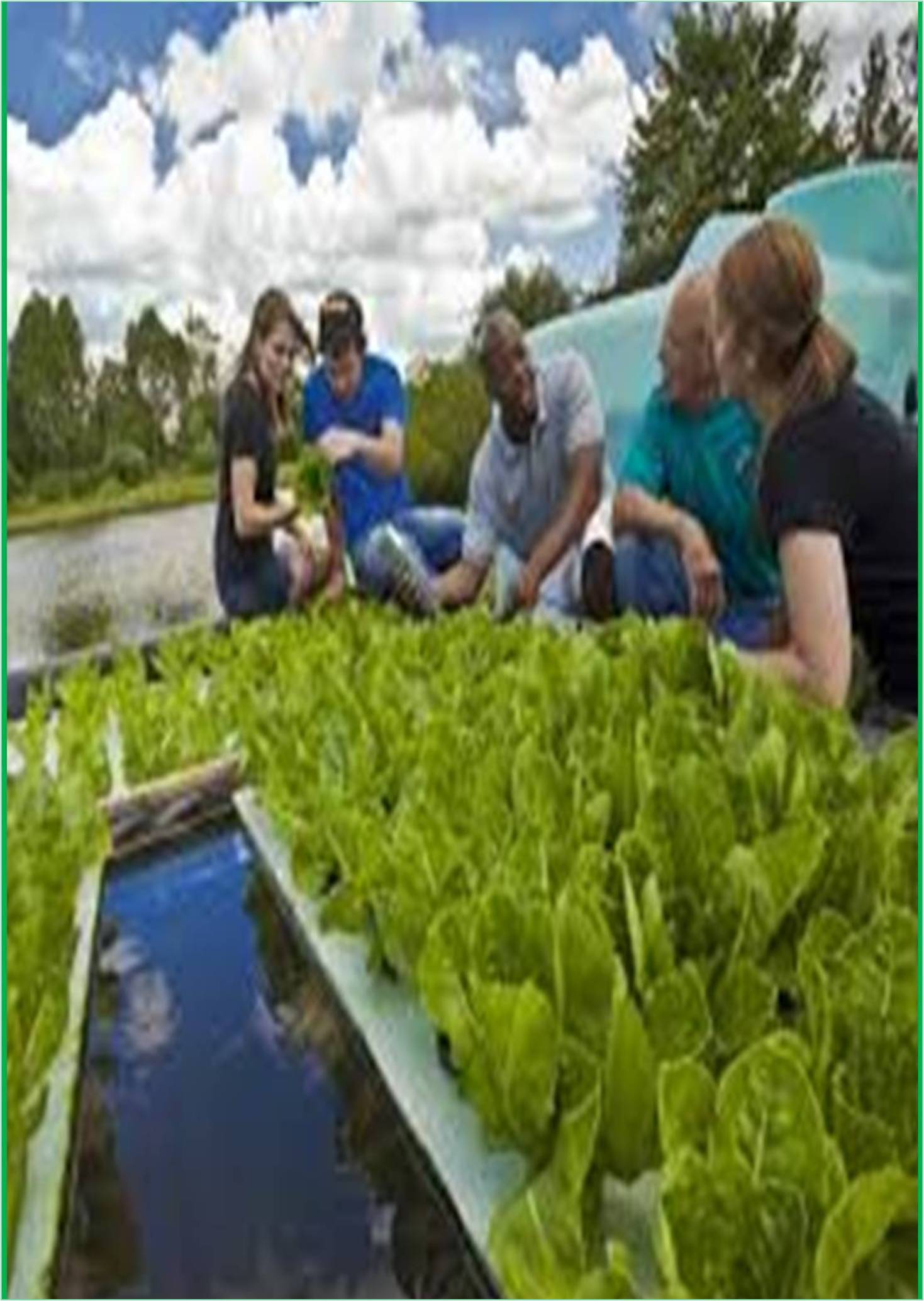
The majority of nations have seen the development of collective biodiversity monitoring through the self-organization of various stakeholder groups, including academic institutions, NGOs, and natural history organizations. Ecological research also generates a substantial amount of biodiversity data, which is routinely shared on data sharing websites and gathered in biodiversity observation databases like the Living Planet Index, Predicts, or Bio Time. Such data are growing rapidly as a result of the cultural movement toward open science. Furthermore, it is believed that between 80% and 90% of the biodiversity monitoring data in Europe are gathered by devoted volunteers. Volunteers are a diverse population, ranging from newcomers and infrequent participants to specialists in their particular taxonomic group. European Butterfly Monitoring Scheme They have organized themselves into a variety of scientific and natural history groups all around the world. In-depth Breeding Bird Surveys, like the Pan-European Common Bird Monitoring Scheme (PECBMS), or butterfly monitoring programmes, among others throughout the world, are some of the greatest examples of extensive, long-term, and large-scale monitoring programmers that are based on citizen research. These facts have helped shape significant global assessments.
There are different ways to provide information to support policy choices if a monitoring system is deemed inappropriate. These will need to include some of the components of effective monitoring, including knowledge of the attribute of interest's natural variability, the significance of timing, the requirement for adequate spatial coverage and resolution, and the connections between change, trend, and potentially dangerous processes.
Remote sensing monitoring
Researchers highlighted more than 10 years ago the potential advantages of utilizing satellite remote sensing to evaluate and keep track of many aspects of biodiversity. There are several recurring themes in a large portion of the literature on remote sensing applications for mapping and monitoring elements of biodiversity. The capacity of satellite imaging to synoptically monitor vast areas in a timely, organized, and repeatable manner stands out among these. There have been an increasing number of recent studies using remote sensing to map, monitor, or simulate biodiversity at different scales of inquiry. Categorized "direct" and "indirect" methods of using remote sensing to model or measure biodiversity components- Since land-cover maps implicitly or explicitly map the composition, abundance, and distribution of specific species or assemblages, they are regarded as a first-order study of species occurrence. In contrast, indirect methods measure environmental factors or indicators that are known to or are thought to have an impact on some elements of biodiversity using remotely sensed images.
Integration for biodiversity monitoring
A networked collection of data kinds, sampling techniques, designs, and stakeholders, whose elements and specifications complement one another, make up an integrated monitoring portfolio. In order for the whole to be greater than the sum of its parts, they might be brought together to solve important concerns. A collection of institutional principles and norms agreed by all stakeholders and supporting the development of common monitoring schemes define an integration culture in the biodiversity monitoring environment. Integration often involves open data access wherever practical.
Dynamic Habitat Index- Because productivity and species richness are strongly correlated, it is important to be able to monitor landscape productivity at regional or continental scales throughout time and space in order to understand how biodiversity is changing and being characterized. We suggest using fPAR estimations from remote sensing, which range from 0 to 1, to give a sense of the landscape's ability to photosynthesize. The MODIS (Moderate Resolution Imaging Spectroradiometer) sensor provides this data in 16-day or monthly time steps, with a 1 km geographic resolution.